Overview
The Kentucky Mesonet, a division of the Kentucky Climate Center, is a statewide monitoring weather and climate monitoring infrastructure with an operations center housed at Western Kentucky University’s Innovation Campus. It is based upon a network of automated stations that monitor near-surface environmental conditions in the domain from 10 meters above the surface to one meter below the surface.
The Kentucky Mesonet is recognized as the official source of climatological observations for the Commonwealth of Kentucky, as designated by Senate Joint Resolution No. 228 that was signed by Governor Ernie Fletcher on April 5, 2006.
Project funding to build the Kentucky Mesonet was provided through the National Weather Service in 2006. Operational funding for the Kentucky Mesonet has been provided through the Commonwealth of Kentucky since 2016. Supplemental funding is provided through external grants and sponsorships. The Kentucky Mesonet relies upon local partnerships to help support the addition of new stations to the network.
The Kentucky Mesonet is a division of the Kentucky Climate Center, which was created in 1978 and became a charter member of the Applied Research and Technology Program of Distinction at Western Kentucky University in 1998.
National Partnership
To The Kentucky Climate Center, a charter member of Western Kentucky University’s Applied Research and Technology Program, is the State Climate Office for Kentucky recognized by the American Association of State Climatologists. As a member of the National Climate Services Partnership, the Kentucky Climate Center is a partner with the National Climatic Data Center, the Midwestern Regional Climate Center, and the National Weather Service.
Community Outreach
The Kentucky Mesonet provides outreach to local communities, enhancing quality of life for people throughout the commonwealth. Outreach starts by working with local officials and stakeholders to identify sites that meet scientific criteria and provide added community benefits. Mesonet data are easily accessible and can be used to improve local forecasts and severe weather warnings, aid emergency response efforts, enhance agricultural productivity, assist local utility providers, and support business and industry.
Education
Data from the Kentucky Mesonet will be available in every K-12 classroom throughout the commonwealth to support science and math education. Faculty and students in Kentucky's eight public universities are charter members of the Kentucky Mesonet Consortium.
Cyberinfrastructure
The Kentucky Mesonet is part of a larger effort at Western Kentucky University to build a cyberinfrastructure for environmental monitoring and decision support, thereby strengthening Kentucky's economic competitiveness through advanced science and technology.
Identification
The Kentucky Climate Center seeks to identify candidate Mesonet sites that meet scientific criteria for climate monitoring while providing reliable data for operational needs. Sites that provide unique benefits to local communities are further valued. Where possible, Mesonet sites should be located in an open area on flat or nearly flat ground far from buildings, trees, and other obstructions. Soil should be in its natural state, as excavation or tilling compromises the value of soil temperature and moisture content measurements. Furthermore, Mesonet sites should be located in areas where the terrain and land use are representative of key landscapes within the surrounding area. Finally, sites are preferred in areas that are not likely to experience major land use change, particularly due to urbanization.
The link below provides a check list of desirable characteristics for a Kentucky Mesonet site.
•Candidate site identification form ( Microsoft Word document, Adobe PDF document)
•How to identify a high-quality candidate site ( Microsoft Word document, Adobe PDF document)
•Three steps to site identification ( Adobe PDF document)
Installation
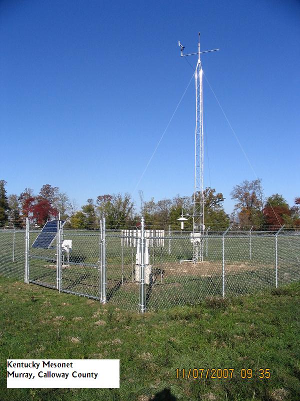
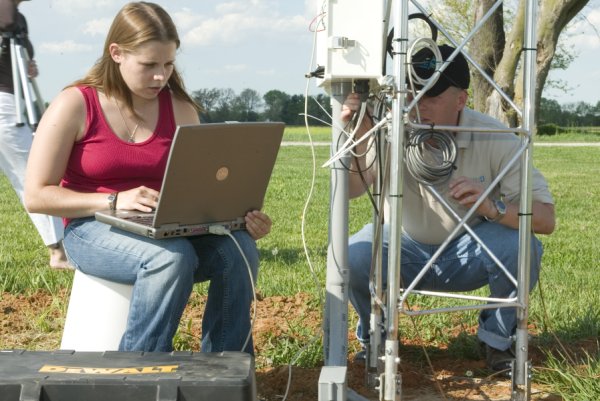
A Kentucky Mesonet station has a small footprint on the landscape. The standard site requires a 42' by 38' fenced area. A Mesonet station can operate using either an AC or a solar power source. Site construction occurs in phases. First, an installation team preps the site and sets bases for the met tower, precipitation gage, and power supply in concrete. Next, a security fence is installed by our local partner according to specifications provided below. Finally, the installation team returns to add and connect instrumentation, and then to initiate communications between the station and the Mesonet network operations center. Each of the two site visits by the installation team takes approximately two days.
The links below provide information relevant to site design and construction.
| AC Powered Site | Solar Powered Site | Both |
|---|---|---|
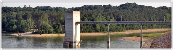
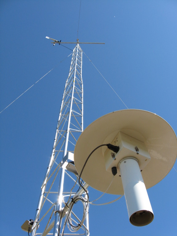
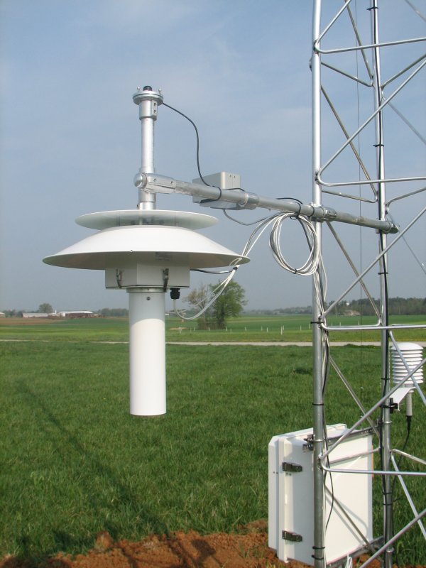
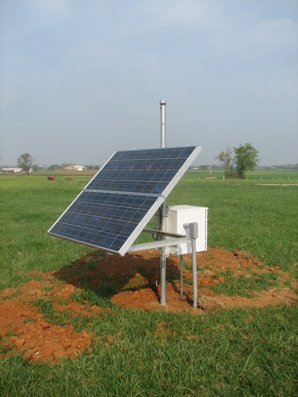
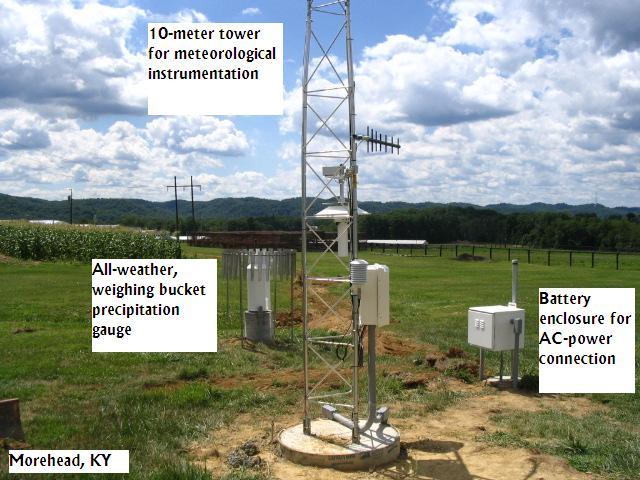
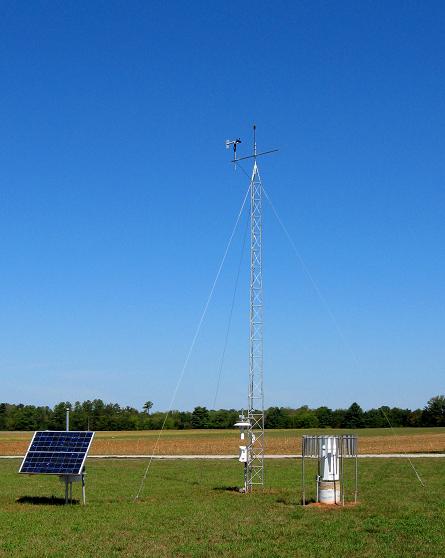
Site Photos
Click to see a larger version
Contact Information
| Postal Address |
Kentucky Climate Center Western Kentucky University 2413 Nashville Rd., Suite 301, Bowling Green, KY 42101 |
|---|---|
| Telephone | (270) 745-4567 |
| Fax | (270) 745-4567 |
| kymesonet@wku.edu |
Staff
| Name | Primary Responsibilities |
|---|---|
| Dr. Jerry Brotzge | Director |
| Tiffany Clark | Operations Manager |
| Dr. Eric Rappin | Research and Applications Scientist |
| Shane Holinde | Outreach Manager |
| Lauren Poblet | Quality Assurance |
| Sarah Meany | Office Coordinator |
| Gavin Connors | Lead Field Technician |
| Cooper Jackson | Instrumentation Laboratory Manager |
| Aaron Meador | Mesonet Systems Meteorologist |
| Andrew Quilligan | Systems Architect |
| Chunhei Yuen | Applications Developer |